Ghana
Country Statistics
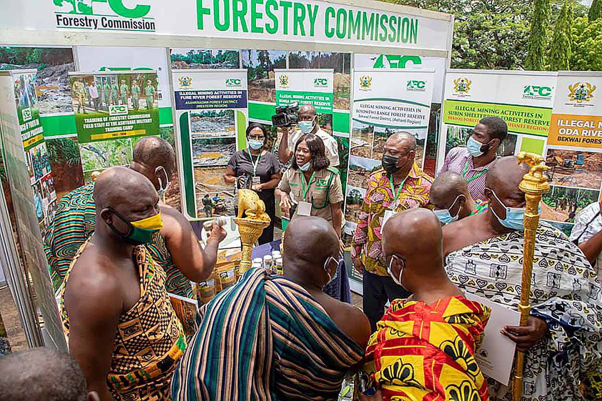
Ghana’s cocoa forest landscape has one of the highest deforestation rates in Africa, at 3.2% per year. Forest degradation and deforestation across this agro-forest mosaic, which covers 5.9 million ha of Ghana’s High Forest Zone, is being driven by continued cocoa farm expansion and other types of agriculture, coupled with a recent up-surge in illegal mining and logging.
Our Work
|
Country timeline
|
Submission of Forest Reference Emissions Level (FREL) to UNFCCC (2021) |
|
Main activities in 2020
|
Training and support in the development of the FREL |
National context
As part of the country engagement for Reporting for Results-Based REDD+ Phase II, CfRN and Ghana committed to a joint work program to achieve the following goals:
- Evaluate national activity data and emissions factor, with CfRN’s technical team providing technical advice for data collection and GHG calculations
- Develop Ghana’s National Greenhouse Gas (GHG) Inventory
- From National GHG Inventory, extract the forest related information for Forest Reference Emissions Level (FREL) and submit to UNFCCC in January 2021
- Provide necessary information to update the Nationally Determined Contributions (NDC), where needed.
Support in the Development of the FREL
To ensure Ghana stayed on deadline for submitting its FREL by 2021, CfRN developed a training program for capacity building. The training included:
Reporting National Circumstances
- Recapitulation of national circumstances and national policies/ strategies and corresponding links to the GHG Inventory (MRV)
Reporting of Institutional Arrangements
- Framework diagram for hierarchy levels
- Table of Roles and Responsibilities (AFOLU)
- Reporting Cycle
National Reporting to UNFCCC
- Decision 2/CP.17, Annex IV – Modalities and guidelines for international consultation and analysis
- Decision 4/CP.15, Methodological guidance for activities relating to reducing emissions from deforestation and forest degradation and the role of conservation, sustainable management of forests and enhancement of forest carbon stocks in developing countries
- Decision 12/CP.17 II. Modalities for forest reference emission levels and forest reference levels
- Decision 11/CP.19. Modalities for national forest monitoring systems
- Decision 13/CP.19, Annex. Guidelines and procedures for the technical assessment of submissions from Parties on proposed forest reference emission levels and/or forest reference levels
- Decision 14/CP.19 Modalities for measuring, reporting and verifying
2006 IPCC guidelines applied in the Reporting for Results-Based REDD+ Foundational Platform
- Implementation of Transparency, Accuracy, Consistency, Comparability and Completeness (TACCC) Principles
- Updates on 2019 guidelines
- GHG estimations using Volume 4, Agriculture, Forestry and Other Land Use (AFOLU)
Forest Reference Level and the Reporting Results-Based REDD+ Foundational Platform
- Consistency between FRL and GHG Inventory
- Review process of FREL (UNFCCC Technical Assessment)
- REDD+ Technical Annex to Biennial Update Report (BUR)
Documentation
- Reporting Results-Based REDD+ Nationally Inventory Report Template
QC/QA protocols
Improvement plan
As a result, Ghana successfully submitted its FREL report in 2021
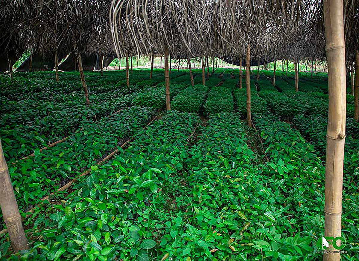
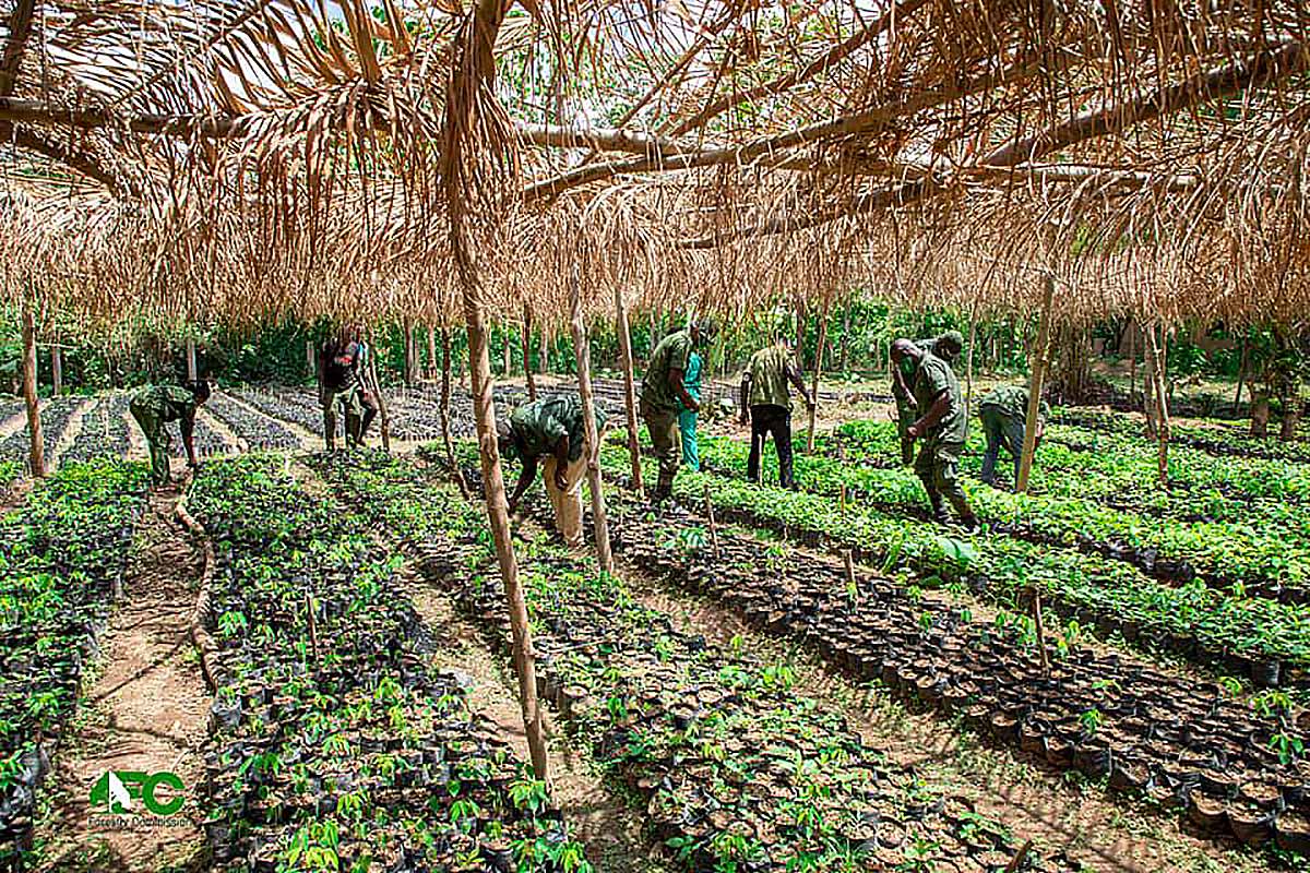
“In the last 15 years, about 275,107 hectares of forest have been cleared and converted to other land use. This is 0.34% forest loss.”
“Ficias il etur? Igendae. Adiam que peles mi, vel id esto beaquatem facepra pro bere veris eiumquis comnim”
Species
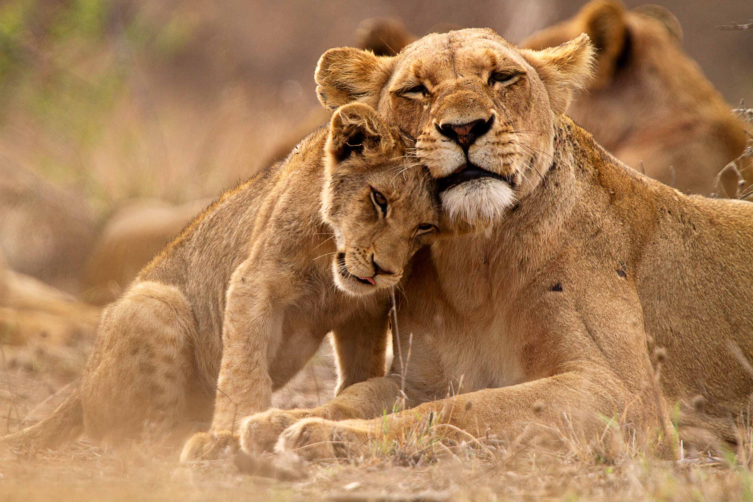
The following species are rated as Critically Endangered (CR), Endangered (EN) or Vulnerable (VU) in Ghana, according to the 2004 IUCN Red List of Threatened Animals.
Critically Endangered:
- Groove-toothed Forest Mouse
Endangered
- African Elephant
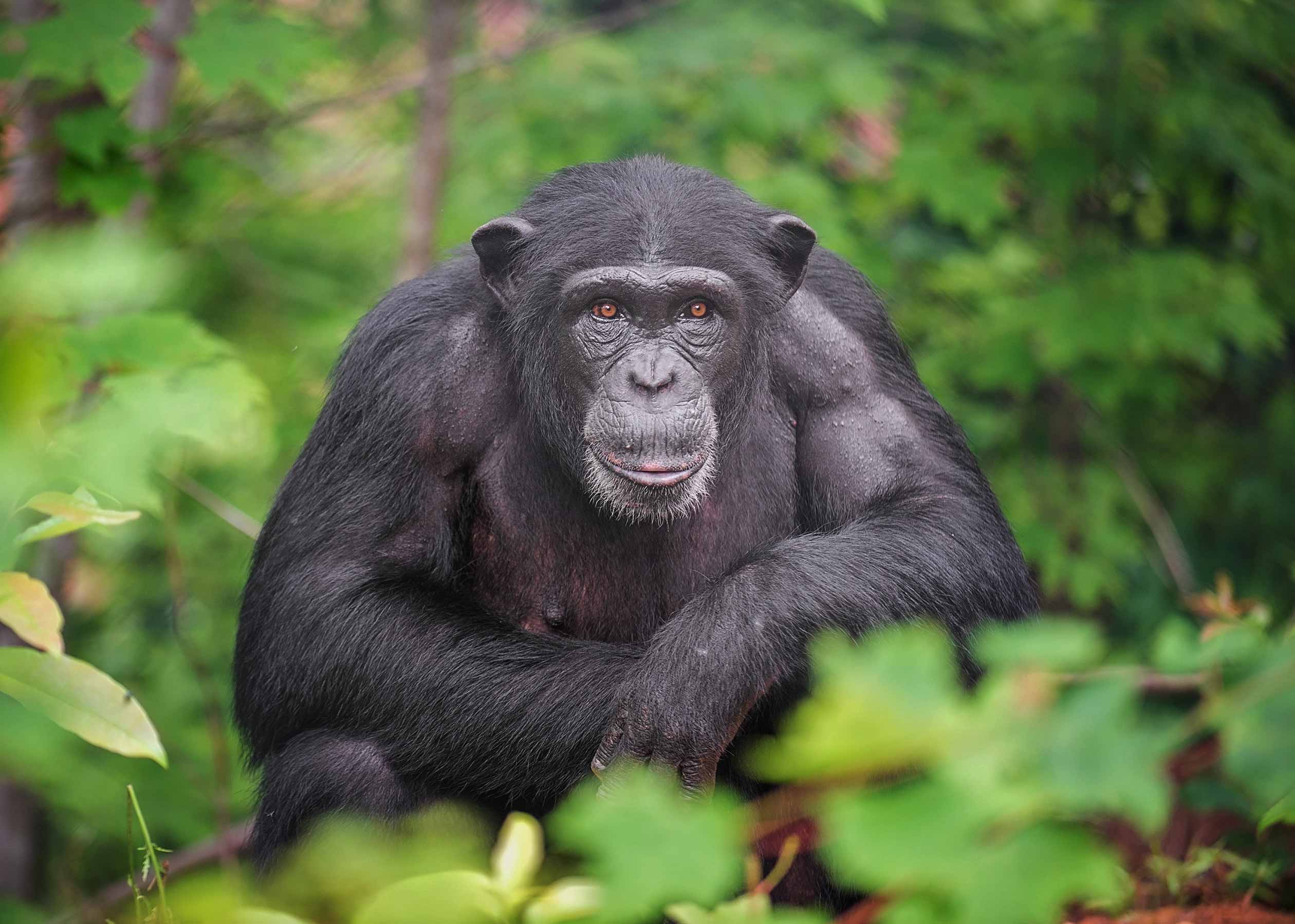
- Chimpanzee
- Diana Monkey
- Wild Dog
Vulnerable:
- African Elephant
- African Golden Cat
- Buettikofer’s Epauletted Fruit Bat
- Fat Mouse Species
- Lion
- Pied Bat
- Red-fronted Gazelle
- Spotted-necked Otter
- West African Manatee
- White-thighed Black-and-white Colobus
- White-toothed Shrew Species
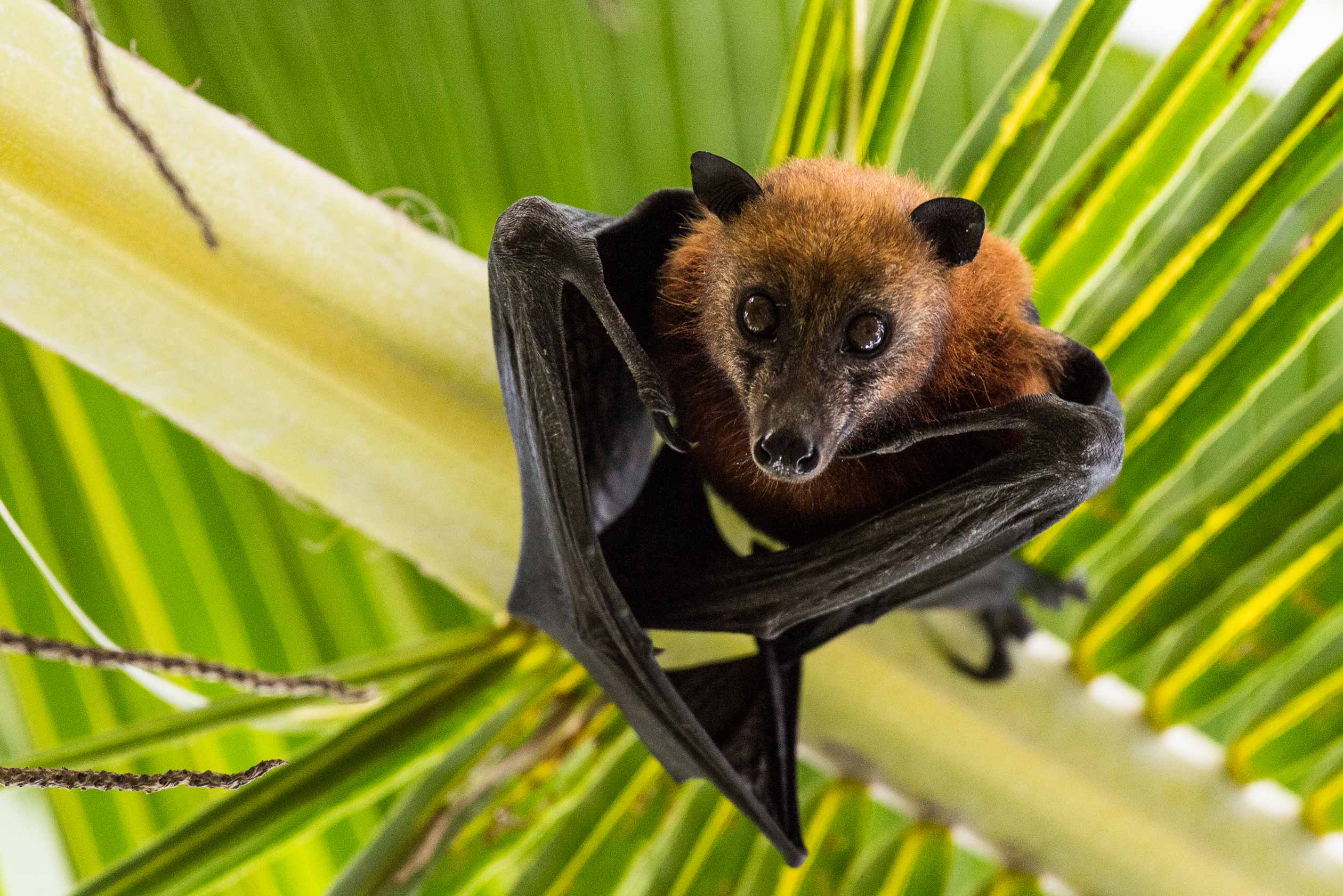
Fruit bat hanging upside down
Useful Links
Background
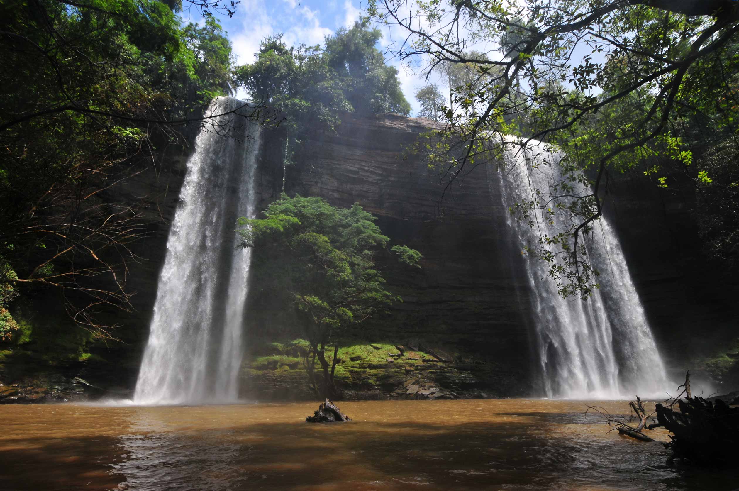
Boti Falls is a 30m high waterfall within the Boti Forest Reserve
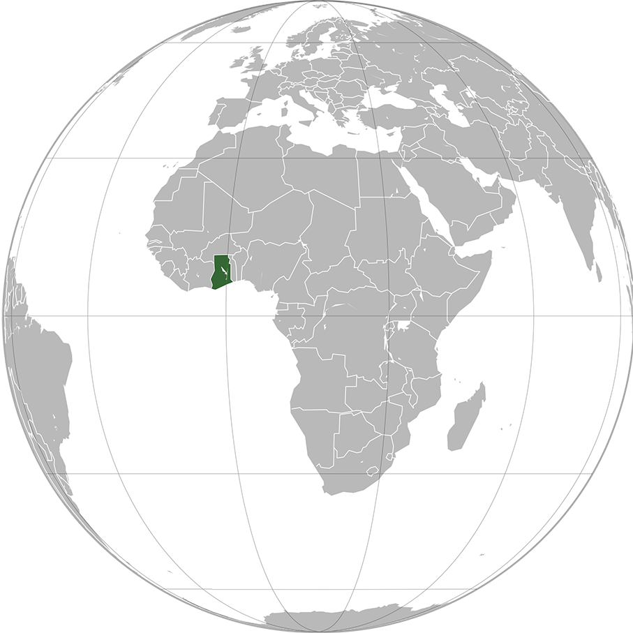
Ghana lies along the Gulf of Guinea and the Atlantic Ocean, in the sub-region of West Africa. Spanning a land mass of 238,535 km2 (92,099 sq mi), Ghana is bordered by the Ivory Coast in the west, Burkina Faso in the north, Togo in the east, the Gulf of Guinea and the Atlantic Ocean in the south. Ghana’s diverse geography and ecology ranges from coastal savannahs to tropical rain forests.
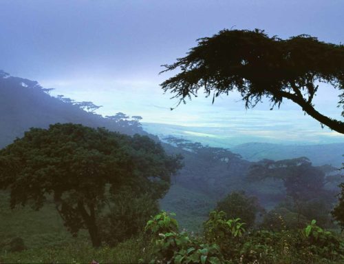
Grasslands mixed with south coastal shrublands and forests dominate Ghana, with forest extending northward from the south-west coast of Ghana on the Gulf of Guinea in the Atlantic Ocean 320 kilometres and eastward for a maximum of about 270 kilometres with the Kingdom of Ashanti or the southern part of Ghana being a primary location for mining of industrial minerals and timber.
Ghana is home to five terrestrial ecoregions: Eastern Guinean forests, Guinean forest-savanna mosaic, West Sudanian savanna, Central African mangroves, and Guinean mangroves. It had a 2018 Forest Landscape Integrity Index mean score of 4.53/10, ranking it 112nd globally out of 172 countries. Its forests are endowed with a rich array of land based natural resources—gold, timber, cocoa, oil palm, and shea. Ghana’s growth and economic achievements have come at a significant cost to its forests. Having lost over 60% of its forest cover from 1950 to the turn of the last century (2.7 million hectares), the country is working hard to overturn the current deforestation rate of approximately 3.2% per year (135,000 ha/year) to promote a sustainable utilization of forest resources through REDD+.
