Mozambique
Country Statistics
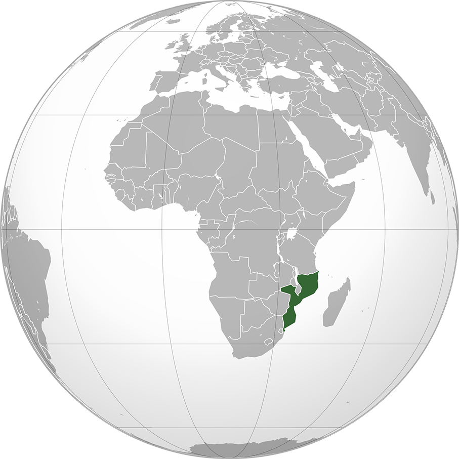
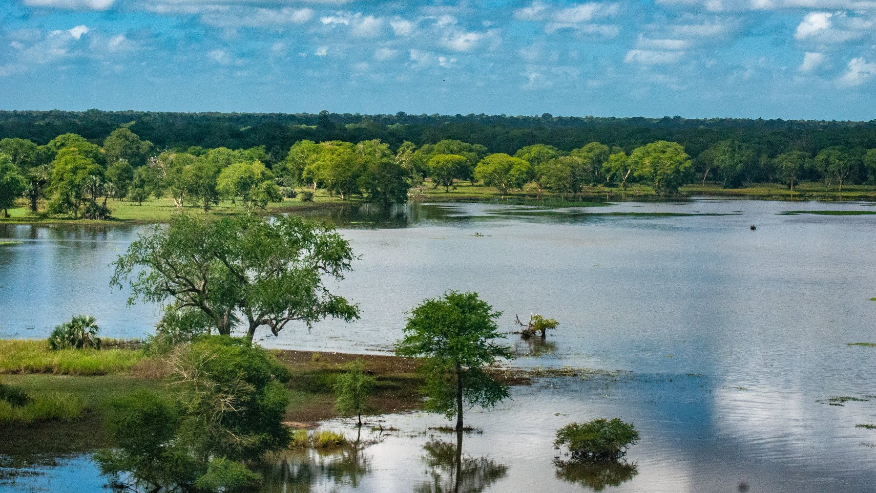
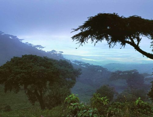
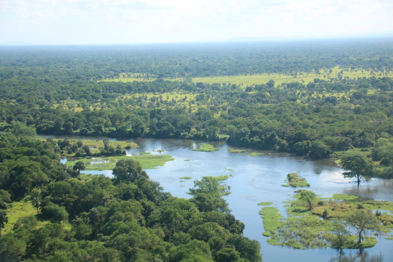
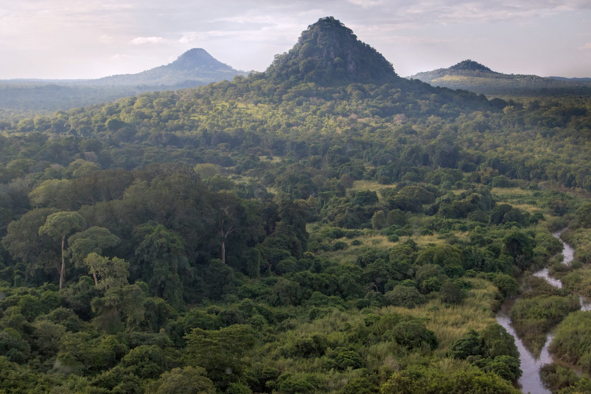
Mozambique is one the few sub-Saharan countries with a significant portion of natural forest covering 51% of its territory (40.6 million hectares). However, deforestation and forest degradation have been increasing in recent years, due to several direct drivers of deforestation including small-scale agriculture, charcoal production, timber exploitation and illegal logging.
Our Work
|
Country timeline
|
Submission of 2nd National Communication and 1st Biennial Update Report 2020 |
|
Main activities in 2020
|
Quality assurance Biennial Update Report |
National context
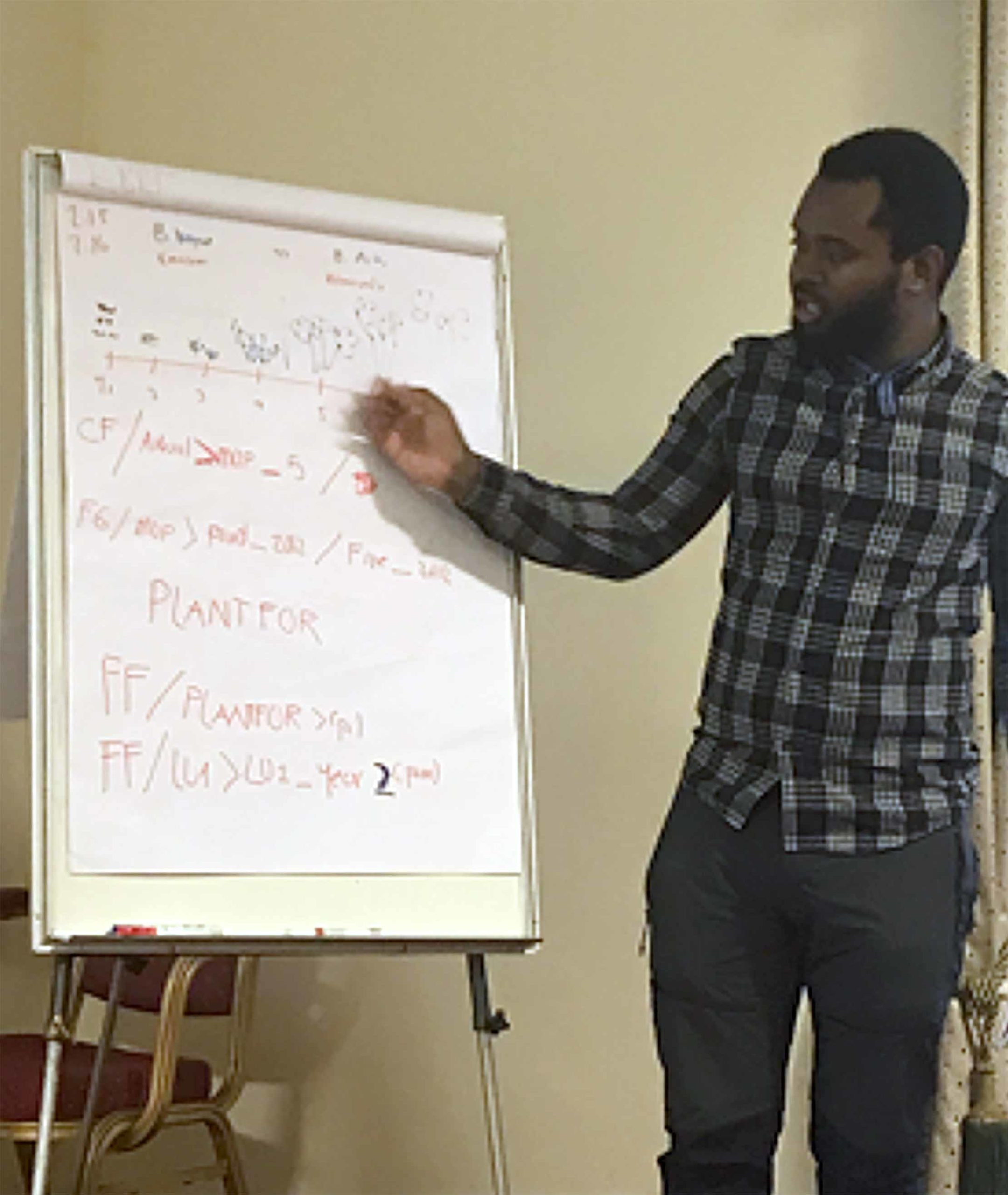
A technical analysis of Mozambique’s 2019 GHG Inventory for Agriculture Forestry and Other Land Uses (AFOLU) took in February 2020 by UNFCCC experts. Mozambique shared the draft of its First Biennial Update Report (BUR1) for quality assurance (QA) to CfRN. The newly appointed national Forest Director expressed an interest in engaging collaboratively with CfRN. A meeting was organized with Mozambique’s team to identify immediate actions that CfRN could develop, including its National Communication, BUR1 and GHGI. Future activities consistent with Phase II of Reporting Results-Based REDD+ Project will also be discussed in meetings in 2021.
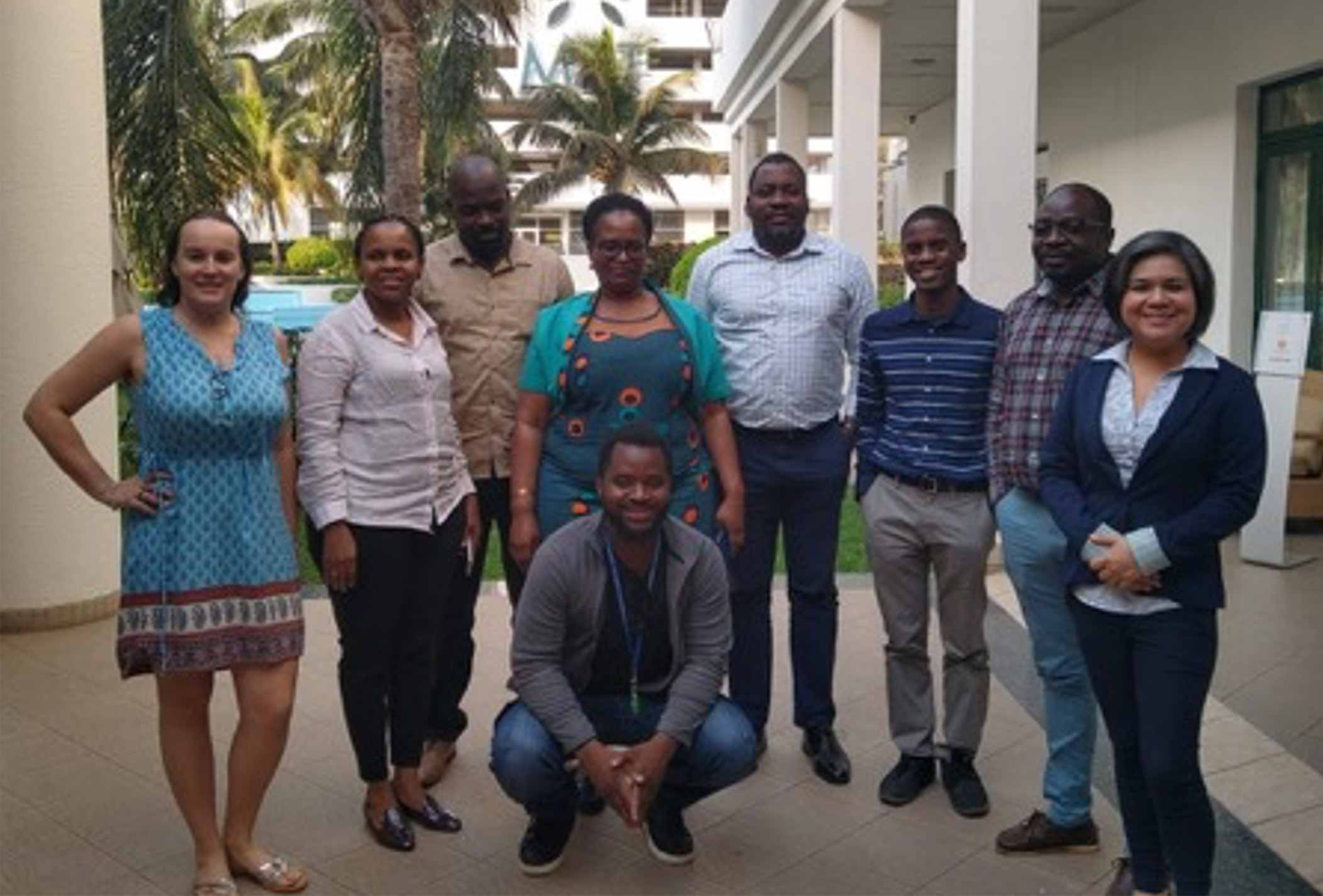

CfRN Country Mission Team
“Shifting agriculture is the major cause of deforestation in Mozambique, being responsible for 65% between 2000 and 2012. Other major causes are: urban expansion (12%), extraction of timber products (8%) and production of firewood and charcoal (7%).”
“Ficias il etur? Igendae. Adiam que peles mi, vel id esto beaquatem facepra pro bere veris eiumquis comnim”
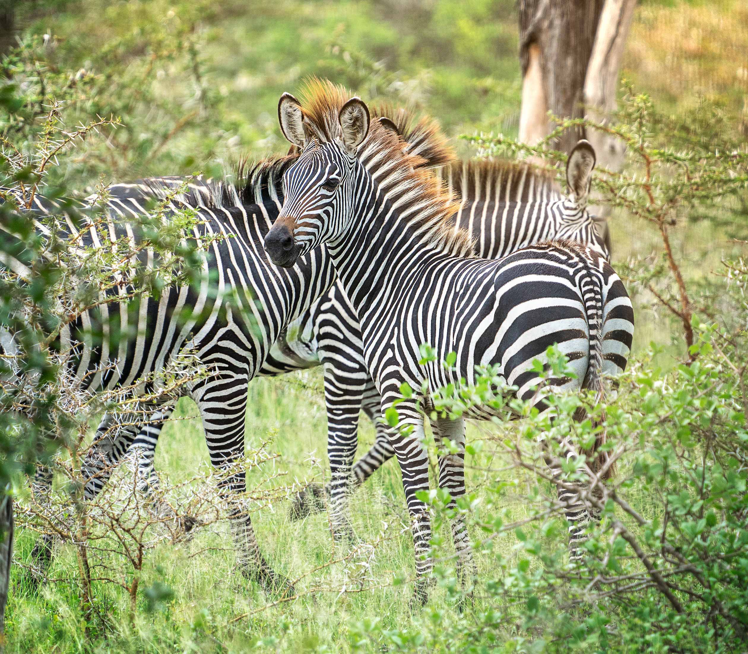
Selous’ zebra
Species
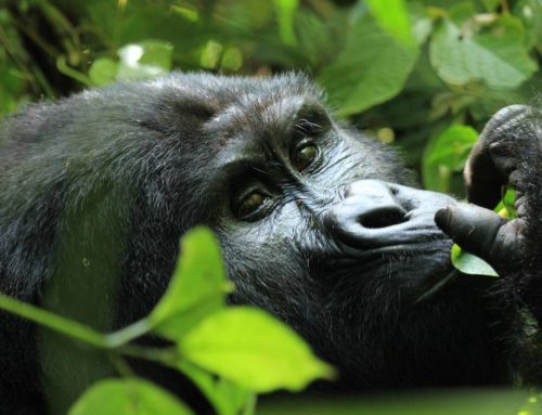
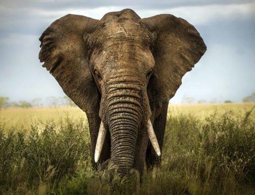
There are known to be 740 bird species in Mozambique, including 20 globally threatened species and two introduced species, and over 200 mammal species endemic to Mozambique, including the critically endangered Selous’ zebra, Vincent’s bush squirrel and 13 other endangered or vulnerable species.
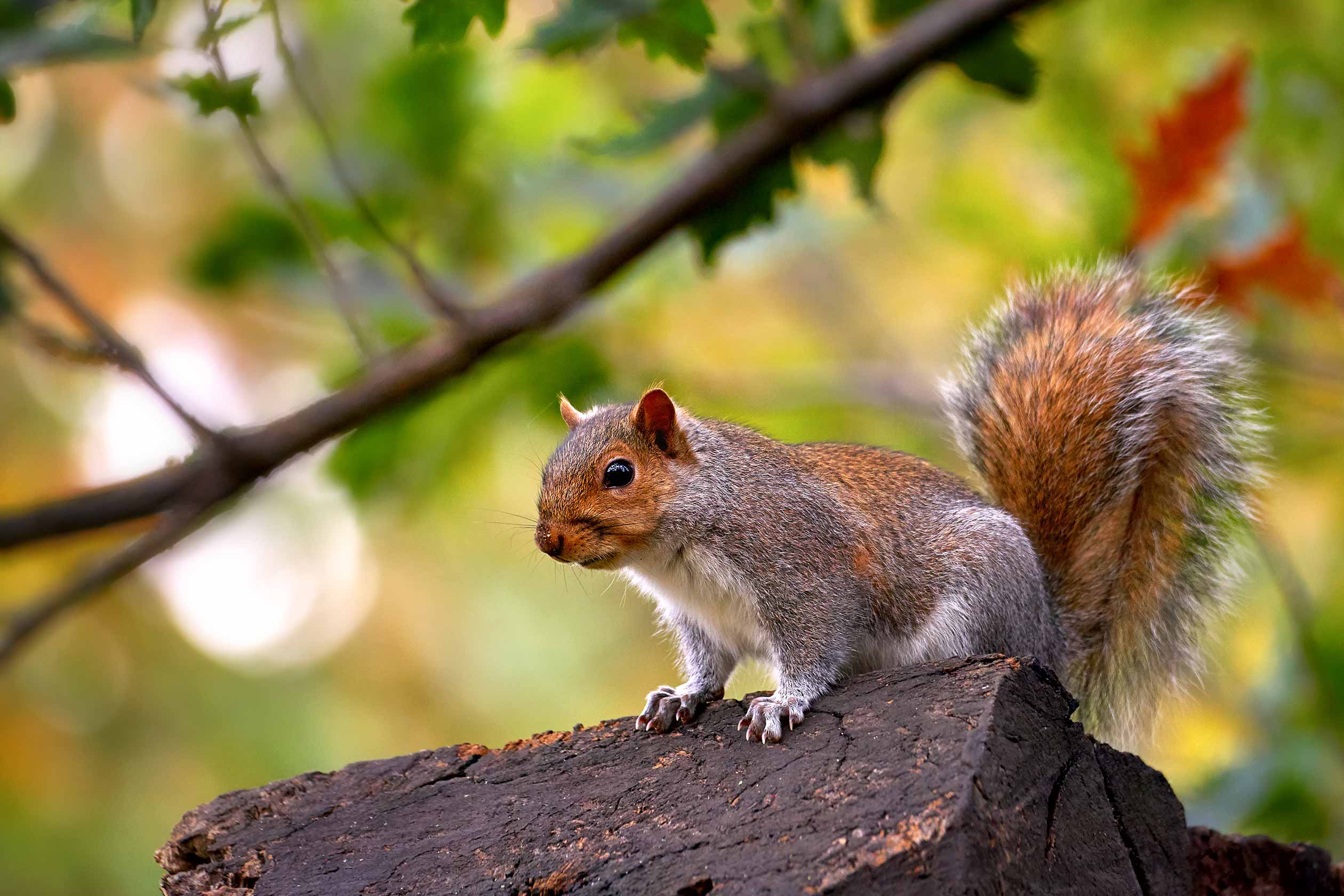
Vincent’s Bush Squirrel
Useful Links
Background
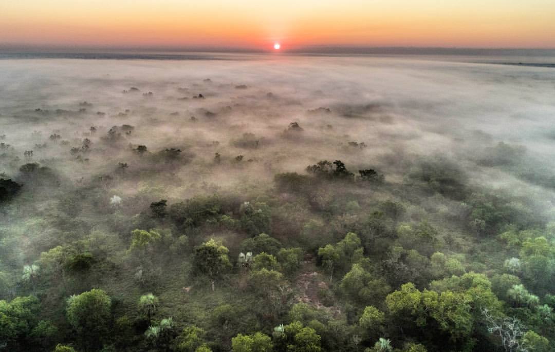
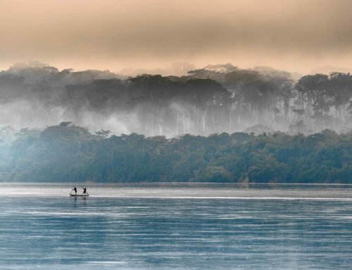
At 309,475 sq mi (801,537 km2), Mozambique is the world’s 36th-largest country. It is comparable in size to Turkey. Mozambique is located on the southeast coast of Africa. It is bound by Eswatini to the south, South Africa to the southwest, Zimbabwe to the west, Zambia and Malawi to the northwest, Tanzania to the north and the Indian Ocean to the east. The country is divided into two topographical regions by the Zambezi River. To the north of the Zambezi River, the narrow coastal strip gives way to inland hills and low plateaus. Rugged highlands are further west; they include the Niassa highlands, Namuli or Shire highlands, Angonia highlands, Tete highlands and the Makonde plateau, covered with miombo woodlands. To the south of the Zambezi River, the lowlands are broader with the Mashonaland plateau and Lebombo Mountains located in the deep south. The country is drained by five principal rivers and several smaller ones with the largest and most important the Zambezi.
Protected areas of Mozambique include thirteen forest reserves, seven national parks, six nature reserves, three frontier conservation areas and three wildlife or game reserves. The country had a 2019 Forest Landscape Integrity Index mean score of 6.93/10, ranking it 62nd globally out of 172 countries.
